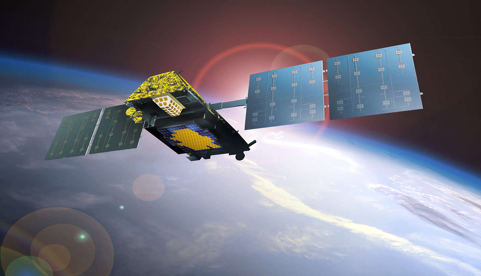
A communications satellite is a device used to receive and transmit radio signals in space. The satellite has communications equipment including receive and transmit antennas, power, and electronic components which enable it to receive a signal from a satellite terminal/user and then transmit that same signal to another satellite terminal/user.
A vast array of satellites exist with various:
Frequencies - C Band, Ku Band, L Band etc.
Altitudes - LEO, MEO, GEO
Orbital Planes - Equatorial, circular, inclined, polar
There are many functions and services which satellites are designed and used for: Resource surveillance, weather reporting, search and rescue, espionage, global positioning, and telephone communications. In order to provide the type of services desired, the appropriate orbit may be required to provide the required Earth coverage.
Geosynchronous Orbit (GEO) are located 35,786 Km above Earth. A single satellite can view approximately 1/3 of Earth's surface. They travel in the same direction and speed as Earth's rotation so they appear "stationary". This means Earth station antennas do not need to track the satellite.
Takes approximately 250 msec for the signal from earth to reach the satellite and come back down to earth, round trip then is about 500 msec (source to satellite to destination to satellite and back to source).
Medium Earth Orbit (MEO) are located 8,000-20,000 Km above Earth. Typically, they have an elliptical (oval-shaped) orbit, but some travel in near perfect circles. The orbital period is anywhere from 2 to 12 hours.
The most common use for satellites in this region is for navigation, communication, and geodetic/space environment science.
They are also used by GPS satellites.
Communications satellites that cover the North and South Pole use MEO satellites. Low Earth Orbit (LEO) are located 500-2,000 Km above Earth. LEOs are much closer to earth and travel at high speed to avoid being pulled out of orbit by Earth's gravity. They orbit Earth about every 90 minutes. The international space station is a LEO.
Universal - Available almost anywhere and with more coverage than terrestrial.
Versatile - Support all forms of communications ranging from SBD exchanges to bandwidth intensive multimedia applications.
Reliable - When terrestrial outages occur, satellite connections remain operational.
Seamless - For two-way IP networks, the speed, uniformity and end-to-end control is unmatched.
Fast - Additional receive sites, or nodes on a network, can readily be added, sometimes within hours.
Expandable - Easily scalable for more locations or bandwidth.
Flexible - Satellite solutions are highly flexible and can operate independently or as part of a larger network.
Terrestrial microwave consists of towers and stations and are limited by line-of-sight. A GEO satellite with one single antenna can cover about 1/4th of the earth.
A terrestrial repeater has a limited range due to the curvature of the earth. Terrestrial copper or fibre could be widely distributed, complicated, different providers, or non existent in many locations. A terrestrial repeater is point-to-point, the satellite carries signals from anywhere to anywhere; and anywhere to everywhere.
A satellite, by virtue of its altitude, can relay signals from one station to another, thousands of miles away. Very high bandwidths and very high data rates are achievable in a satellite based communication system. Using the example of a mirror in space, anyone who can see this mirror could communicate with each other. Someone in Anchorage could flash a light at the mirror and signal you in Seattle. In this way the satellite conquers terrestrial distance.
Communications is possible to and from anywhere within the Satellite's Footprint.
Designation
Range
Link
Service
Military UHF
240 – 328 MHz
Up & Down
Mobile Satellite
L Band
1535.0-1543.5 MHz
Down
Maritime Mobile
1636.5-1645.0 MHz
Up
1542.5-1558.5 MHz
Down
Aeronautical Mobile
1644.0-1660.0 MHz
Up
C Band
3700-4200 MHz
Down
Fixed Satellite
5925-6425 MHz
Up
Military SHF
7250-7750 MHz
Down
Fixed Satellite
7900-8400 MHz
Up
Ku Band
10950-11200 MHz
Down
Fixed Satellite
11450-12700 MHz
14000-14500 MHz
Up
Ka Band
17700-21200 MHz
Down
Fixed Satellite
27500-31000 MHz
Up
The design life of geostationary satellites is approximately 10 to 15 years. There are approximately 402 operational geostationary satellites as of 2018.
At launch, the fuel tanks on the satellite are filled with hydrazine gas which is used for satellite 'station keeping'. The hydrazine gas is used for small thruster burns which keep the satellite at its correct position for the duration of its life.
The satellite is ready for retirement when there is only a small amount of fuel left to be expended. The remaining fuel is used to execute a final end of life maneuver, which places the satellite as far out of geosynchronous orbit as possible. The satellite gets pushed out to a disposal orbit. Most satellites end up about 300 km above where they started.
Up to a dozen geosynchronous satellites go out of service every year, and there are now several hundred retired satellites in the disposal orbit. They may drift slightly from that altitude under the influence of the sun and moon, but they won't interfere with the operational satellites below.
The location of a satellite is referred to its orbital position. All Geostationary Satellites are located in a single ring above the equator in what is known as the Clarke Belt (after the author Arthur C. Clarke). The requirement to space these satellites apart means that there are a limited number of orbital slots available, thus only a limited number of satellites can be placed in geostationary orbit. This has led to conflict between different countries wishing access to the same orbital slots. These disputes are addressed through the ITU (International Telecommunication Union) allocation mechanism.
The location of a satellite is normally measured in terms of longitudinal degrees East or West from the prime Meridian of 0 degrees.
The area of Earth's surface for coverage of transmit to or receive from is called the footprint. The footprint can be tailored for different frequencies and power levels.
Each satellite will have its own characteristic footprint based upon the area in which it provides service. A US Satellite may be elliptical north-south to cover from Mexico to Canada for example.
Satellites will move in space due to gravitational forces from the sun and moon. The orbital location and satellite stability can be maintained by control stations on the ground and is called station keeping.
The satellite is allowed some deviation from its assigned position, but once it hits a defined threshold, thrusters are fired to maintain this deviation allowing for a small amount of pointing error. The allowed pointing error is built into the link budget calculation.
The deviation follows a figure 8 pattern, the centre of the 8 is ideal.
The satellite acts as a repeater which receives, amplifies, and frequency translates the signal before beaming it over its footprint. It may be thought of as reflecting the signal like a mirror reflects light.
At Ku Band the frequency received from the earth is down-converted by 2300 MHz (the signal received from the satellite will be 2300 MHz lower than the signal transmitted to the satellite) and at C-Band, this frequency translation is 2225 MHz. By knowing the frequency translation performed by the satellite, the receive frequency (within the range of 3.7 to 4.2 GHz) is determined.
The satellite provides 'fixed gain'; that is if more signal is desired from the satellite, the transmitting Earth Station must transmit more power.
Normally satellites operate on both the C Band and Ku Band (can also include Ka and X Bands) and will usually have separate antennas for each band. In each band there is 500 MHz of bandwidth in a normal configuration (more with extended band) of frequency spectrum which is "Polarized". Polarization gives the ability to re-use the frequency spectrum, thereby doubling the capacity of the system.
Signals transmitted from Earth to Satellite are referred to as 'uplink' signals, and signals received from the Satellite are 'downlink' signals.
The satellite converts the signal before it retransmits it back to earth. The signals going up to the satellite are at one frequency range (within a band of frequencies) and the satellite changes them to a different frequency range coming down so they won't interfere with the signals going up.
The designation 'C Band' uplinks at 6 GHz and downlinks at 4 GHz and 'Ku-Band' uplinks at 14 GHz and downlinks at 12 GHz. The footprints can be different for C Band and Ku Band. Ku Band is preferred in urban areas since Radio Frequency Interference is less and licensing is easier. C Band provides better northern coverage and it is better suited for less populated areas since its frequency spectrum is shared with terrestrial microwave.
All service types (SCPC, Star, video etc.) are carried on both bands.
Satellite Services are subject to fading when precipitation is in the atmosphere. The higher the frequency, and the denser the precipitation, the more the signal may be affected. The C Band is less affected than Ku. Ku is less affected than Ka. Fading can severely affect service when heavy rain or snow is present.
The power levels of the transmitted signal is boosted when precipitation fading is an issue. This provides more power than what is needed during clear sky conditions to compensate.
Even with fade margin there still will be some instances where the density of clouds and rain reduces the signal enough that it affects data with errors, or a voice call gets noisy, just as it might affects a TV channel.
Compiled from publicly available Internet sources.